
Big Eau Pleine
Special Announcements
On this page:
Stats Amenities Gallery Hourly Data Water Levels and Gate Report Water Level Report Isopeths Land Use and RecreationBuilt in 1936, this high head dam is located on the Big Eau Pleine River, southwest of Mosinee. The area around the dam is very open, and has been developed for recreation.
The Eau Pleine Dam is a reinforced concrete structure. It has three piers situated between two abutments, and four gates. The three northern most gates are Tainter gates, all of which rest on sills set on concrete rollways. The fourth gate is a steel slide gate that closes off a sluice tunnel through the dam. The slide gate is protected from passing debris by an upstream trash rack. The chain driven Tainter gates are operated by an electric winch that moves from gate to gate on a track. The slide gate is operated by a separate stationary electric winch. The dam has a narrow concrete deck that comprises the work platform, as well as wing walls both upstream and down.

(Ft. NGVD): 1145.43
(MCF): 4275
(Feet): 46ft.
(Ft. NGVD): 1125
(MCF): 4170
(Miles): 79mi.
Amenitities:


Big Eau Pleine Hourly Data
Big Eau Pleine Water Levels and Gate Report
Big Eau Pleine Water Level Report

Dissolved Oxygen Monitoring and Isopeths
The water quality of the Eau Pleine Reservoir has been studied extensively by WVIC (and others) since 1974. Dissolved oxygen readings are graphed on "isopleths", which are a visual depiction of oxygen levels throughout the water column.
Learn More >>Big Eau Pleine History
The Eau Pleine Reservoir was the final reservoir built in the Wisconsin Valley Improvement Company system.
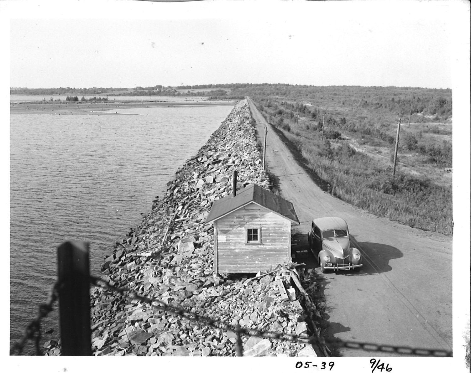
The dam was authorized by the Public Service Commission in 1935. While under construction, A 1936 Milwaukee Sentinel article noted that the dikes of the new structure were about 1.5 miles long, and that they were 130 feet wide at the base, 40 feet wide at the top, and 40 feet high. The article also noted that the dikes used 760,000 cubic yards of dirt, that 300 men worked day and night shifts, and that the estimated cost of the dam was about $700,000. The dam was built by Consolidated Water Power Company of Wisconsin Rapids. WVIC acquired ownership from Consolidated.

Recreational Land Use
WVIC lands are generally open to the public without discrimination. There are a few areas near our dams and infrastructure where public access and use is prohibited for your safety. We do have guidelines for recreational activities, like hunting, fishing, boating, trapping, and more. Learn more about the rules and guidelines for using WVIC lands.
Learn More >>Private Use of WVIC Land
Strictly limited individual private use of WVIC property is possible with permission and the assignment of a Use License Agreement obtained through WVIC. Learn more about what is and is not allowed to be constructed.
Learn More >>