Reservoir System Summary
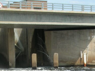
Wisconsin River Reservoir System Data
| Reservoir |
County |
Year |
Max Level (Ft NGVD) |
Min Level (Ft NGVD) |
Area |
Depth (Ft) |
Shoreline (Mi) |
Gross Storage (MCF) |
Usable Storage(MCF) |
| Big Eau Pleine |
Marathon |
1937 |
1145.43 |
1125 |
6677 |
46 |
79 |
4275 |
4170 |
| Big St. Germain |
Vilas |
1908 |
1591.16 |
1588.16 |
1654 |
42 |
11 |
1466 |
210 |
| Buckatahpon |
Vilas |
1908 |
1908 |
1638.35 |
922 |
47 |
14 |
597 |
120 |
| Burnt Rollways |
Oneida |
1907 |
1625.71 |
1622.96 |
7626 |
57 |
111 |
4525 |
852 |
| Lac Vieux Desert |
Vilas |
1907 |
1681.53 |
1679.36 |
4247 |
42 |
19 |
2140 |
398 |
| Little Deerskin |
Vilas |
1907 |
1642.16 |
1640.49 |
313 |
20 |
4 |
82 |
23 |
| Little St. Germain |
Vilas |
1908 |
1613.88 |
1612.05 |
1008 |
53 |
15 |
495 |
77 |
| Long on Deerskin |
Vilas |
1907 |
1698.43 |
1695.84 |
2353 |
92 |
19 |
2651 |
255 |
| Lower Nine Mile |
Oneida |
1907 |
1643.76 |
1639.18 |
841 |
7 |
11 |
114 |
104 |
| Minocqua |
Oneida |
1907 |
1585.05 |
1582.72 |
6069 |
84 |
77 |
7243 |
600 |
| North Pelican |
Oneida |
1908 |
1569.1 |
1566.6 |
1295 |
16 |
21 |
351 |
151 |
| Pickerel |
Oneida |
1935 |
1590.34 |
1581.34 |
786 |
18 |
16 |
315 |
227 |
| Rainbow |
Oneida |
1935 |
1597.05 |
1579.05 |
4165 |
26 |
63 |
2004 |
1987 |
| Rice |
Lincoln |
1911 |
1463.25 |
1448.25 |
4111 |
62 |
80 |
1922 |
1698 |
| Seven Mile |
Oneida |
1907 |
1650.14 |
1645.81 |
518 |
45 |
7 |
417 |
85 |
| South Pelican |
Oneida |
1908 |
1591.98 |
1589.98 |
3694 |
39 |
13 |
2175 |
308 |
| Spirit |
Lincoln |
1922 |
1437.88 |
1424.88 |
1698 |
25 |
55 |
672 |
666 |
| Squirrel Lake |
Oneida |
1908 |
1564.93 |
1562.51 |
1505 |
46 |
18 |
1008 |
149 |
| Sugar Camp |
Oneida |
1908 |
1597.32 |
1592.32 |
1857 |
32 |
36 |
1080 |
411 |
| Twin Lakes |
Vilas |
1907 |
1682.57 |
1680.57 |
3535 |
60 |
14 |
4074 |
301 |
| Willow |
Oneida |
1926 |
1529.35 |
1510.85 |
6392 |
30 |
127 |
2924 |
2809 |
